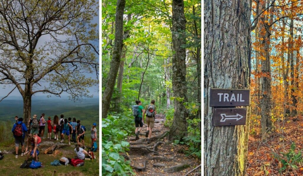
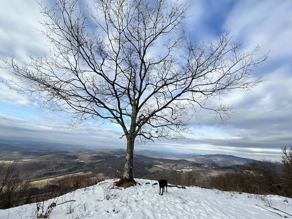
14 Spectacular and Easy(ish) Hikes in Southern Vermont
Note: Advertising is how we keep this site free for you to enjoy, and we earn a commission from affiliate links that may be included in this post. Thank you for supporting Vermont Explored!
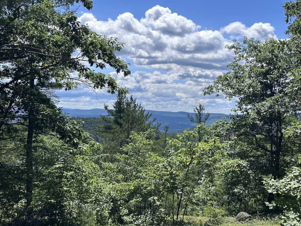
Vermont is beautiful in all four seasons, and exploring the mountains and valleys on foot is one of the most enchanting ways to experience the state.
We’ve been meandering Southern Vermont’s trails for the past 16 years, and we figured it was high time we shared our favorite trails with you.
The following hikes, rambles, and walks are perfect for novice hikers or families with children. Most are under five miles, and all have a kid-friendly feature to help entice them along.
The best way to encourage my kids to go on a trail is to promise them water for swimming. We’ve got a few more tricks up our sleeves if you’re interested, but many of our favorite trails surround lakes, meander along rivers, or end at the bottom of waterfalls.
Today, we’re going to focus on easy hiking trails in Southern Vermont, including trails in Bennington, Manchester, Dorset, Stratton, Wilmington, Brattleboro, and Putney.
Featured Read: AMC’s Best Day Hikes in Vermont
Written by Tara Schatz and Jen Lamphere Roberts, this fully revised guide includes classic hikes such as Camel’s Hump, Mount Mansfield, and sections of the Long and Appalachian trails, along with new additions Raven Ridge, Killington Peak, Moose Bog, and more.
Whether you’re looking for an exploration of nature or to bag a 4,000-footer, AMC’s Best Day Hikes in Vermont is indispensable.
When is the best time to hike in Southern Vermont?
We hike the trails in Southern Vermont year-round, so don’t let the temperature or snow discourage you.
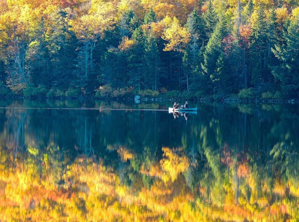
Our favorite time to hike in this area is early October because the fall colors are incredible here, but fall is also prime tick season, so be sure to protect yourself from those nasty critters.
Summer is our second favorite time to hike in Vermont.
The days are long, the weather is warm, and we can cool off with a swim during or after our hikes. The trails are busiest in the summer, but there’s usually room to spread out even on the most popular trails.
Finally, all of these trails are totally doable (and beautiful) during the winter months. You may need to bring a pair of snowshoes or Microspikes, but because these trails are pretty short, you should be able to accomplish them without issue.
The only time I wouldn’t recommend hiking in Southern Vermont is during mud season, when hiking can damage the trails. In Southern Vermont, mud season can start as early as February and usually lasts through mid-April in the lower elevations and mid-May higher up.
Don’t worry, we’ve got plenty of other ideas for mud season in Vermont!
Insider tip: cell service is spotty in many of these spots. I use AllTrails+ to download maps before leaving home so I can use the GPS feature without cell service. Use my affiliate link to save 30% on the annual subscription.
Easy Hiking Trails in Southwestern Vermont
Southwestern Vermont is our home turf, so we have many suggestions for fun, easy hikes in the area.
Lake Shaftsbury State Park: Shaftsbury, Vermont
Distance: 1-mile loop | Elevation change: negligible | Difficulty: Easy | Dogs: Yes, on-leash | Cost: $5/$2 kids | | Trail Guide
This 84-acre park is small but well-loved. It is most popular with local families as a picnic and swimming spot, but the trail around Lake Shaftsbury is underappreciated and quite lovely.
The hike around Lake Shaftsbury is more of a ramble — a mile in length, meandering through the woods, then wetlands, then back into the woods, with a constant view of the lake.
Waterfowl are plentiful most of the year, and we’ve also spotted bald eagles and osprey on numerous occasions.
After your hike, you will want to spend some time on the water, and the beach is the perfect spot for relaxing with a good book.
Afterward, I highly recommend driving south on Route 7A for another mile and visiting the Chocolate Barn for the best ice cream you’re ever likely to taste in Southern Vermont.
Read Next: Lake Shaftsbury State Park in all Four Seasons.
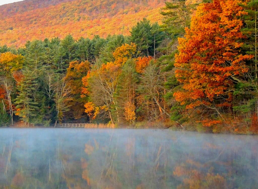
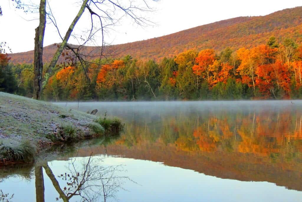
Woodford State Park: Woodford, Vermont
Distance: 2.7-mile loop | Elevation change: 200 feet | Difficulty: Easy | Dogs: Yes, on-leash | Cost: $5/$2 kids | | Trail Guide
The hiking trail in Woodford State Park brings you around Adams Reservoir, a gorgeous, tree-lined lake nestled in the Green Mountains. Woodford State Park is much more secluded than Lake Shaftsbury and much cooler (temperature-wise).
We’ve seen moose up here and spent days on the water without running into another person.
The trail around the lake isn’t difficult, but at 2.7 miles, it might be hard for younger kids to make it around. You can shorten the trail to about 1.8 miles by starting at the day parking lot, hiking counter-clockwise, and cutting into the campground to walk back to your car on the park road.
We love how dark and mossy the trail is. There are several easy stream crossings, and if you look very carefully along the lake shore, you may even see the carnivorous sundew plants.
Read Next: Woodford State Park: A Park for All Seasons
Equinox Pond Loop: Manchester, Vermont
Distance: 2.5-mile partial loop | Elevation change: 200 feet | Difficulty: Easy | Dogs: Yes, on-leash | Cost: Free | | Trail Guide
Some of the best hiking around Manchester can be found a short drive from the town center. The Equinox Preservation Trust is a 914-acre preserve that covers a large chunk of Mount Equinox.
The preserve’s trails range from leisurely to intense, but one of our favorite relaxing walks is taking the Flatlander Trail to Equinox Pond.
While the pond itself is privately owned, the views from the trail are spectacular, especially in the fall.
Read Next: 17 of the Best Things to Do in Manchester, VT
Lye Brook Falls: Manchester, Vermont
Distance: 4.6 miles, round-trip | Elevation change: 934 feet | Difficulty: Moderate | Dogs: Yes | Cost: Free | | Trail Guide
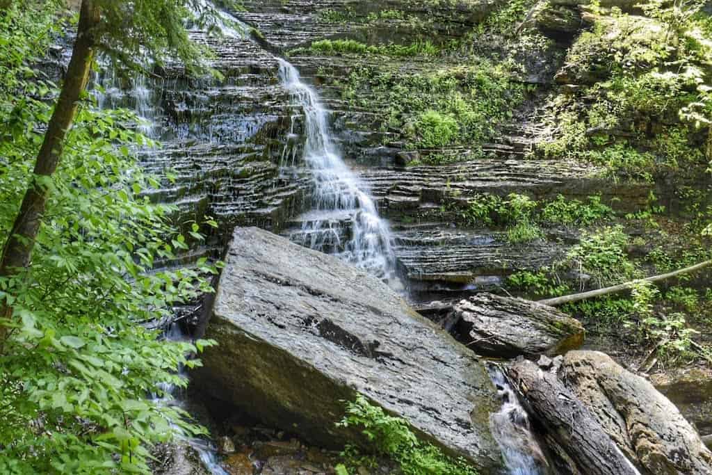
The hike to Lye Brook Falls in Manchester, Vermont, is a moderate 4.6-mile woodland walk that is easy enough for families with older kids.
This hike is perfect for summer because the trail is entirely shaded. Not only is Lye Brook Falls one of the loveliest waterfalls in the state, but this southern Vermont hike is also one of our favorite trails in Vermont.
At 125 feet tall, Lye Brook Falls is the closest big waterfall to our home in Bennington, Vermont, so we try to visit at least once every season.
It consists of several tiers of cascades and horsetails. Unfortunately, swimming at Lye Brook Falls is not recommended as the pools are quite shallow.
Because the Lye Brook Falls hike is a popular one, I recommend hiking early in the morning and during the week if possible. The hike is very dog-friendly, and yes, we have seen plenty of dogs off-leash here.
Check out our full Lye Brook Falls trail report before you head out.
Mile Around Woods, North Bennington, Vermont
Distance: 1.3-mile loop | Elevation change: 130 feet | Difficulty: Easy | Dogs: Yes, on-leash | Cost: Free | | Trail Guide
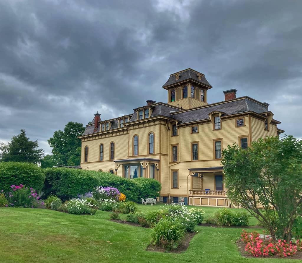
If you’re looking for an easy walk with pastoral views, the Mile-Around-Woods trail is one of the best hikes in Southern Vermont. It sits behind the beautiful Park McCullough house in North Bennington, VT, which is worth a visit in its own right.
This loop starts by taking hikers through beautiful farm fields of grazing horses, then meanders through a hardwood forest on a lovely, wide path.
The forest loop is exactly a mile long, but you can extend the adventure by traipsing across several fields or visiting the historic Park McCullough House and Hiland Hall gardens.
I recommend making an afternoon of it; the Park McCullough House is open for tours on Friday, Saturday, and Sunday from May to October.
The Hiland Hall gardens, which have been meticulously restored, are located behind the main house.
For a trail map, please visit the Fund for North Bennington.
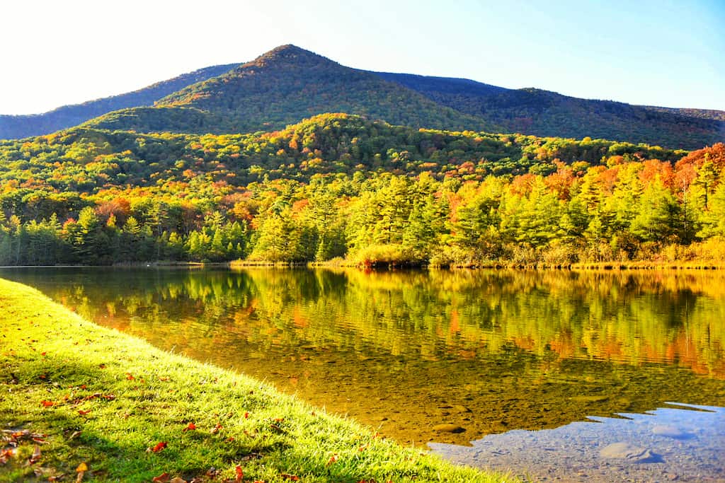
Emerald Lake Loop, East Dorset, Vermont
Distance: 2.2-mile loop | Elevation change: 200 feet | Difficulty: Easy | Dogs: Yes, on-leash (but not on the beach) | Cost: $5/$2 kids | | Trail Guide
Emerald Lake State Park is nestled in a deep valley between the Taconic Mountains to the West and the Green Mountains to the east.
The two mountain ranges are only a few hundred yards apart here, and they rise up steeply on either side of the lake.
Covering just 20 acres, Emerald Lake isn’t big, but what it lacks in size it makes up for in beauty.
There are several hiking trails in Emerald Lake State Park, and if you and your kids are into vistas, I recommend checking out the Vista Trail, which is a steady climb with awesome views of the lake.
I have to say that our kids much prefer the lake trail, which hugs the shoreline and has side trails into the three campground loops. We like taking the trail to the “C” loop because it travels through the wetlands at the south end of the lake, perfect for some kid-friendly birding adventures.
Read Next: Summer Fun at Emerald Lake State Park
Gettysburg Quarry: Dorset, Vermont
Distance: 2.5-mile loop | Elevation change: 500 feet | Difficulty: Easy/Moderate | Dogs: Yes, on-leash | Cost: Free | | Trail Guide
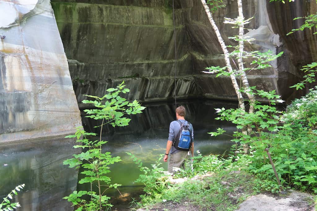
Looking for a fun hike that isn’t too difficult and includes rare natural communities along with incredible geological and human history? The Gettysburg Quarry hike in Dorset is a 2.5-mile loop that is perfect for families, history buffs, and nature lovers! It’s also one of our favorite southern Vermont hikes.
The hike to Gettysburg Quarry is a moderate route through a beautiful hardwood forest that leads to an abandoned marble quarry. Marble has been quarried in Dorset since 1785, and the Gettysburg Quarry was in operation from 1866 until 1897.
This 2.5-mile loop is easy enough for kids and dogs and includes a nice viewpoint to the southwest at Art’s Bench.
Before you head out, read our complete trail overview for Gettysburg Quarry.
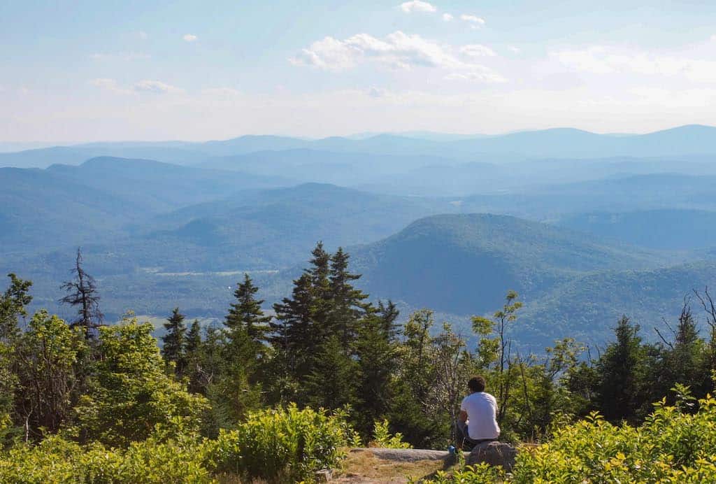
Mount Antone at Merck Forest & Farmland Center, Rupert, Vermont
Distance: 5 miles, round-trip | Elevation change: 800 feet | Difficulty: Moderate | Dogs: Yes | Cost: Free | | Trail Guide
Merck Forest and Farmland Center is a nonprofit educational center and outdoor stewardship organization that maintains 3,162 acres of woods and farmland in Rupert, Vermont.
There are more than 30 miles of hiking trails to explore, plus cabins for camping. We like to stroll around the farm, visit the animals, check out the maple tap house, and then head up Mount Antone (2,600 feet) for a picnic-with-a-view.
A small clearing at the summit provides views to the northeast. Farther on, there’s a lovely grassy field under a lone red oak tree with spectacular northern views of the Taconic and Green Mountains.
There are restrooms and a small gift shop at the visitor center.
Read Next: Cabin Camping at Merck Forest
Easy Hikes in South Central Vermont
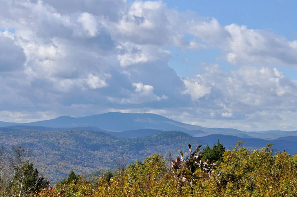
The Green Mountains run north to south through the center of the state. The following hikes are located in the southern Green Mountains, which are gorgeous in all four seasons!
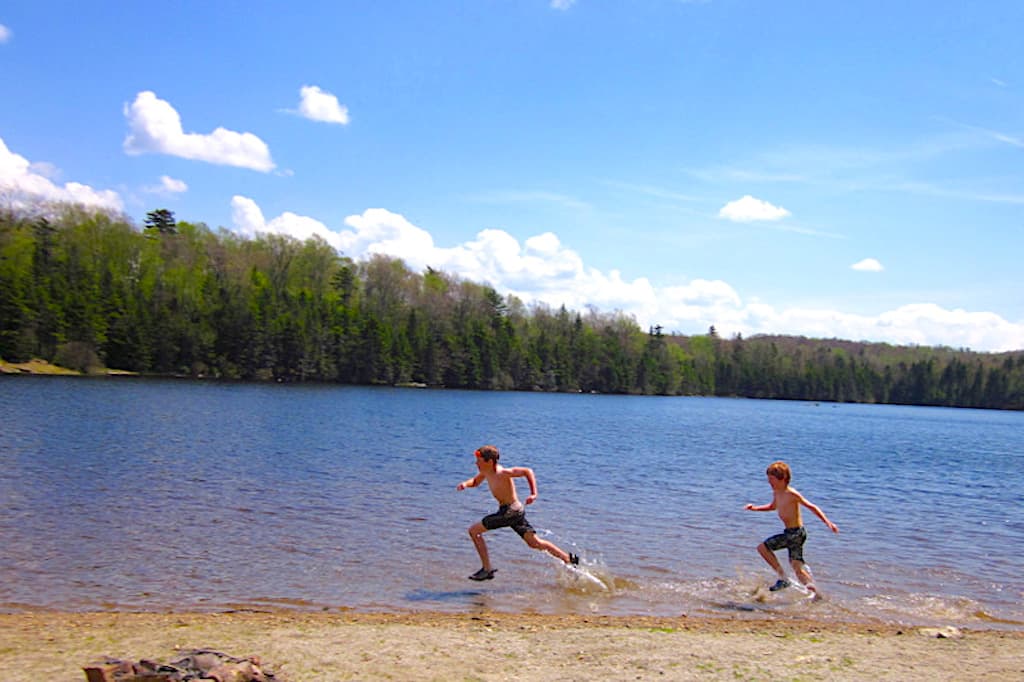
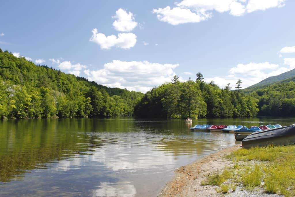
Grout Pond: Stratton, Vermont
Distance: 2.7-mile loop | Elevation change: 250 feet | Difficulty: Easy | Dogs: Yes | Cost: Free | | Trail Guide
The Green Mountain National Forest is one of Vermont’s greatest treasures. It encompasses nearly 400,000 acres of rugged mountains, wild woodlands, and secret valleys in southwestern and central Vermont.
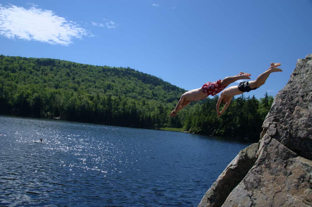
Located in Stratton, Vermont, Grout Pond is a popular summer destination, thanks to its clear water for swimming and shoreside campsites.
The 2.7-mile trail around Grout Pond travels past the campground through a lovely wetland and over a small ridge through a hardwood forest.
It’s an easy walk and the perfect way to get some exercise before a relaxing swim.
Grout Pond is an easy drive from Manchester, Vermont, as long as you don’t mind meandering on Kelly Stand Road, one of Southern Vermont’s most beautiful dirt roads, especially in the fall.
Read Next: Incredible Fall Camping on Grout Pond
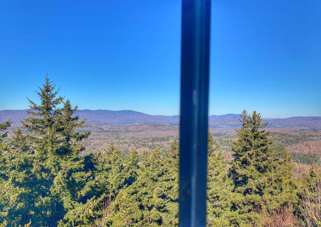
Stratton Mountain Fire Tower, Stratton, Vermont
Distance: 1.4 miles, round-trip| Elevation change: negligible | Difficulty: Easy | Dogs: Yes, on leash | Cost: $29 adults/$19 kids, for gondola tickets | | Trail Guide
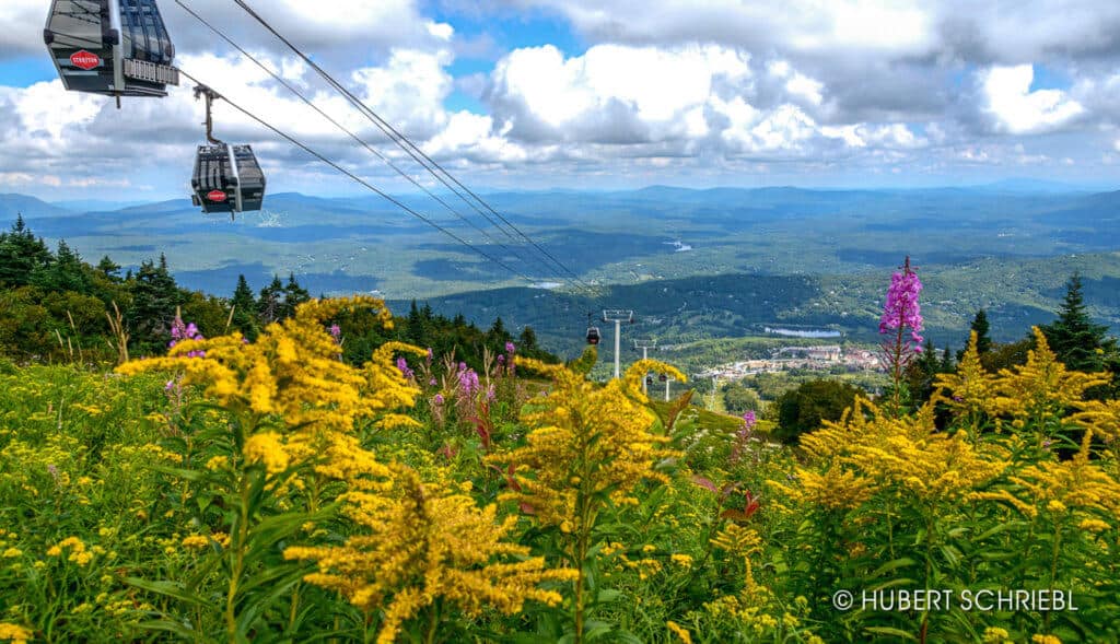
At 3,940 feet, Stratton Mountain is Southern Vermont’s tallest peak.
The hike to the Stratton Fire Tower from the base of the mountain gains 1,700 feet in elevation and is six miles, round-trip. This is a great hike to aspire to, but it’s not exactly easy!
Fortunately, there’s a shortcut. During summer weekends and every day during the fall foliage season, you can hop aboard the gondola at Stratton Mountain Resort.
From there, it’s an easy 0.7 miles to the fire tower, which provides unparalleled views in all directions.
Mt. Olga, Molly Stark State Park: Wilmington, Vermont
Distance: 1.8-mile loop | Elevation change: 550 feet | Difficulty: Moderate | Dogs: Yes, on-leash | Cost: $5/$2 kids | | Trail Guide
Mt. Olga is a great day hike for folks visiting Wilmington, which is one of my favorite Vermont towns.
The hike to the top of Mount Olga is one of the easiest summit/fire tower hikes in the state. Kids will appreciate that they are actually climbing a mountain, but it’s not so hard that it’s frustrating. Still, it is all uphill, so prepare yourself and your kids with an incentive to reach the summit.
If you explore the summit a bit, you’ll find the ruins of the defunct Hogback Ski Resort, which are fun to explore. If you decide to hike the loop without climbing the fire tower, you won’t be treated to the spectacular views, but the woodland trail is still very pretty.
Be sure to catch the view on Hogback Mountain just east of Molly Stark State Park on Route 9.
Little Rock Pond: Mt. Tabor, Vermont
Distance: 5 miles, round-trip | Elevation change: 525 feet | Difficulty: Moderate | Dogs: Yes| Cost: Free | | Trail Guide
Looking for a nice hike to a pristine mountain lake?
Located in the White Rocks National Recreation Area, Little Rock Pond sits just off the Appalachian / Long Trail, and the trail is five miles round-trip.
The pond is just far enough from civilization that it’s never crowded, but close enough that it can be a nice day trip for a hike, picnic, and swim.
Other hikers have seen leeches in Little Rock Pond, but I never have, and we’ve been there dozens of times. Just something to be aware of.
There is a lean-to shelter and several tent platforms set up near the lake for hikers, which also makes this hike the perfect first backpacking adventure for your family.
Hamilton Falls, Jamaica State Park: Jamaica, Vermont
Distance: 6 miles, round-trip | Elevation change: 750 feet | Difficulty: Moderate | Dogs: Yes, on-leash | Cost: $5/$2 kids | | Trail Guide
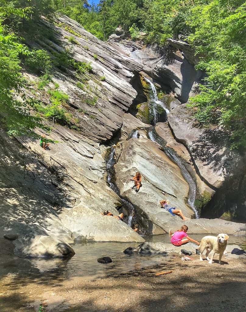
Jamaica State Park is one of our favorite Vermont State Parks. It includes an awesome rail trail that hugs the West River, which is a gem for swimming. As you hike or bike this trail, you’ll find lots of secluded swimming holes in the West River to cool off in.
The West River Trail goes all the way to the Ball Mountain Dam and is perfect for biking.
The hike to Hamilton Falls is probably the most challenging on this list. It’s 6 miles round-trip — 2 miles on the rail trail and then a 1.1-mile climb to the base of the falls. We often shorten our trip by biking the rail trail and then locking our bikes up to a tree while we hike to the falls.
Read Next: 7 Memorable Things to Do in Jamaica State Park
Easy Hikes in Southeastern Vermont
Now, let’s head east to the Connecticut River Valley. We haven’t done as much hiking in this area, but we’re hoping to add more to this list soon.
Summit Trails on Mount Ascutney: Windsor, Vermont
Distance: 2-mile loop | Elevation change: 200 feet | Difficulty: Easy | Dogs: Yes, on-leash | Cost: $5/$2 kids | | Trail Guide
There are several hikes up Mt. Ascutney, a beautiful monadnock overlooking the Connecticut River Valley, but if you’re hiking with small children or you want a more relaxing day trip, you can drive right up the mountain to a summit parking area.
Once at the top, the summit trails are easy and fun to explore, with incredible views, a fire tower, and a hang glider launch pad. In fact, Mt. Ascutney is one of the premier hang gliding destinations in the Northeast.
There are several trails crisscrossing the summit, but if you want to climb the fire tower and watch the hang gliders, I recommend taking the summit trail to the Weathersfield trail to the hang glider trail. The whole loop is about 2 miles.
Read Next: Hiking and Camping in Mount Ascutney State Park
Black Mountain: Dummerston, Vermont
Distance: Varies | Elevation change: Variest | Difficulty: Moderate | Dogs: No | Cost: Free | | Trail Guide
At 1,280 feet, Black Mountain isn’t huge, but it is an unusual ecosystem for Southern Vermont, with lots of mountain laurels and blueberry bushes (ready in late July or early August) and lots of exposed granite. The views are lovely but a bit obstructed by trees.
When you get to the top, it pays to meander and check out the exposed rock outcroppings and better views.
There are two trails up the mountain, from Rice Road or Black Mountain Road. The Rice Road trail is 1.5 miles long and steep. The Black Mountain Road trail is 2.5 miles, but it is a more moderate climb.
Read Next: 19 Spectacular Things to Do in Brattleboro, VT
Putney Mountain: Putney, Vermont
Distance: 1.2-mile loop | Elevation change: 167. feet | Difficulty: Moderate | Dogs: Yes | Cost: Free | | Trail Guide
There is a whole network of trails here, maintained by Windham Hill Pinnacle Association and the Putney Mountain Association.
The Putney Mountain trail is easy enough for families, provides awesome views of the Green Mountains to the west, and is one of the premier spots to watch migrating hawks in the spring and fall.
Once you reach the summit, you can continue on the West Cliff Trail for a longer hike or loop around back to your car for a total of 1.2 miles.
For directions and a detailed trail map, visit Windam Hill Pinnacle Association.
There are many, many trails in and around Brattleboro that I haven’t explored yet. If you have, please leave a comment. I’d love some more recommendations.
Also, the Brattleboro Area Trail System has a fabulous trail map and guide for anyone who wants to explore the area.
Resources for Finding More Southern Vermont Hikes
We hope that Vermont Explored is a good resource for finding hiking trails, but we will never be able to hike and write about them all. So, here’s where we look when trying to find great trails to hike in Vermont.
- Hiking in Vermont Facebook Group: This group is very helpful for finding trail recommendations across the state and answering any questions you might have.
- AllTrails: This hiking trail database includes thousands of trails, maps, photos, and reviews. The AllTrails app allows you to save your favorites, navigate to trailheads, record your tracks, and share reviews. Upgrade to AllTrails+ to download offline maps.
- Trailfinder: This is another excellent online database of hiking trails in Vermont and New Hampshire. You can search for trails by location, difficulty level, and activity (snowshoeing, biking, horseback riding, etc.).
Follow us on social media for more Vermont inspiration!